license plates, search and route archive

A unified AI platform for roads, parking, public transport, taxis, freight routes and dispatch centers: plates, flows, incidents, passengers, search and notifications.
license plates, search and route archive
speed, density, congestion, lanes and junctions
accidents, stops, wrong-way driving and violations
boarding, alighting, queues and vehicle load
events, maps, routes and asset statuses
city, fleet, depot, parking and transport hubs
Transport infrastructure consists of different zones: roads, junctions, stops, depots, parking areas, entrances, dedicated lanes and routes. Each zone needs its own events, metrics and response rules.
Traffic density, speed, overloaded lanes, congestion, peak hours and bottlenecks.
Accidents, danger-zone stops, wrong-way driving, lane blockage and risky maneuvers.
Plate, color, body type, direction, time, zone, route and movement archive.
Boarding, alighting, stop queues, cabin load and peak periods.
Buses, taxis, service and freight vehicles, schedules and movement control.
Cameras, events, archives, telematics and reports should be collected in one layer.
Modules can be enabled step by step: plates and incidents first, then passenger flow, public transport, freight routes and a unified control center.
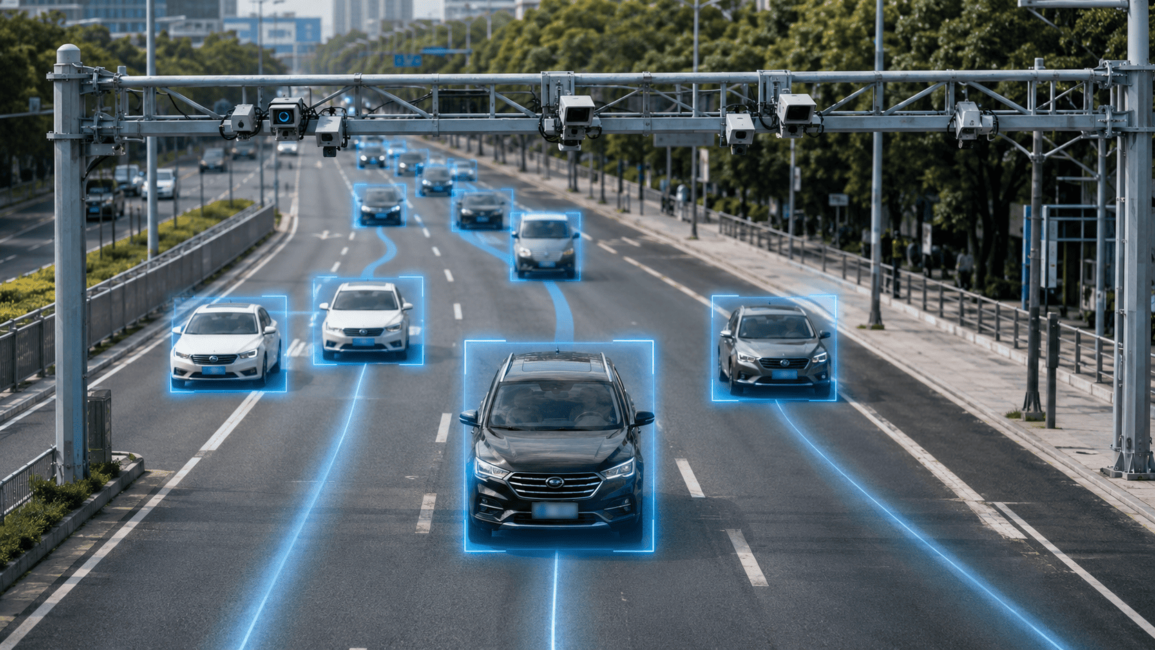
Plates, region, direction, camera, timestamp and archive linkage.
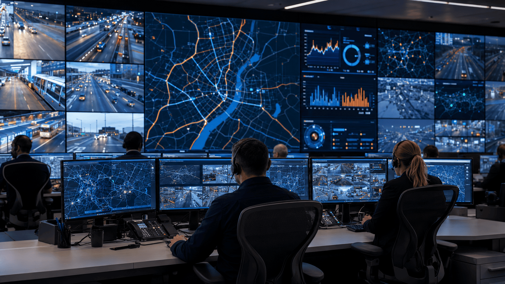
Search by plate, color, body type, similar attributes, zone, time and route.
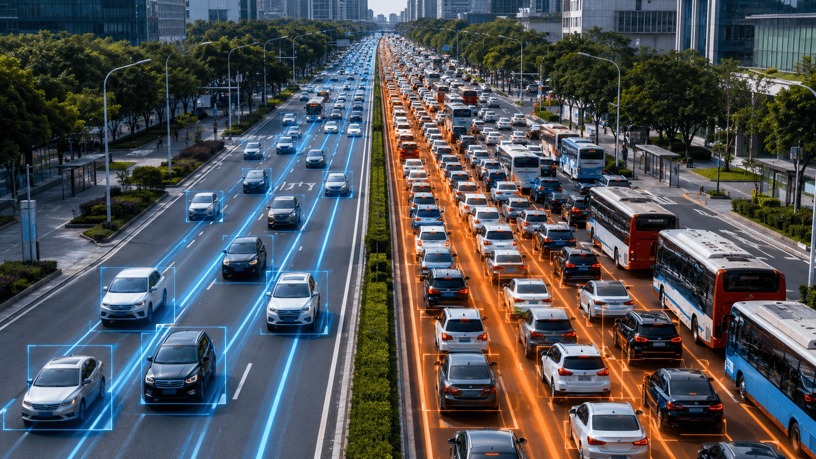
Speed, density, congestion, lanes, junctions, stops and load dynamics.
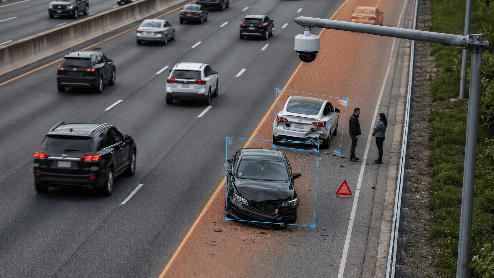
Danger-zone stops, wrong-way driving, lane blockage, accidents and risky maneuvers.
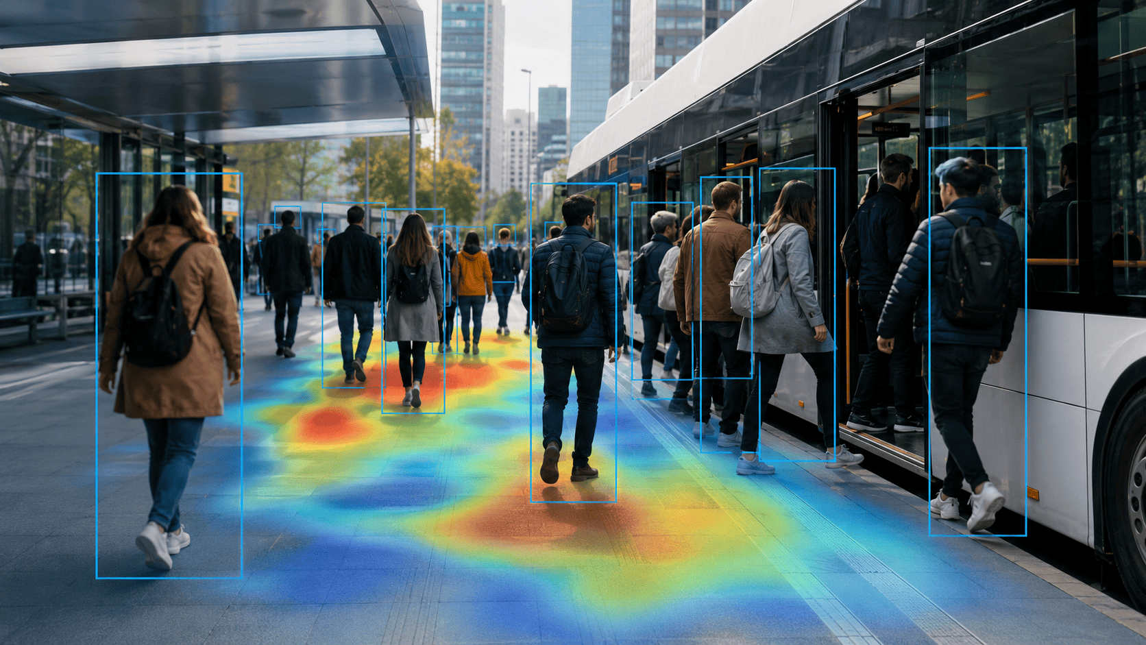
Boarding, alighting, queues, people density, stop and vehicle load.
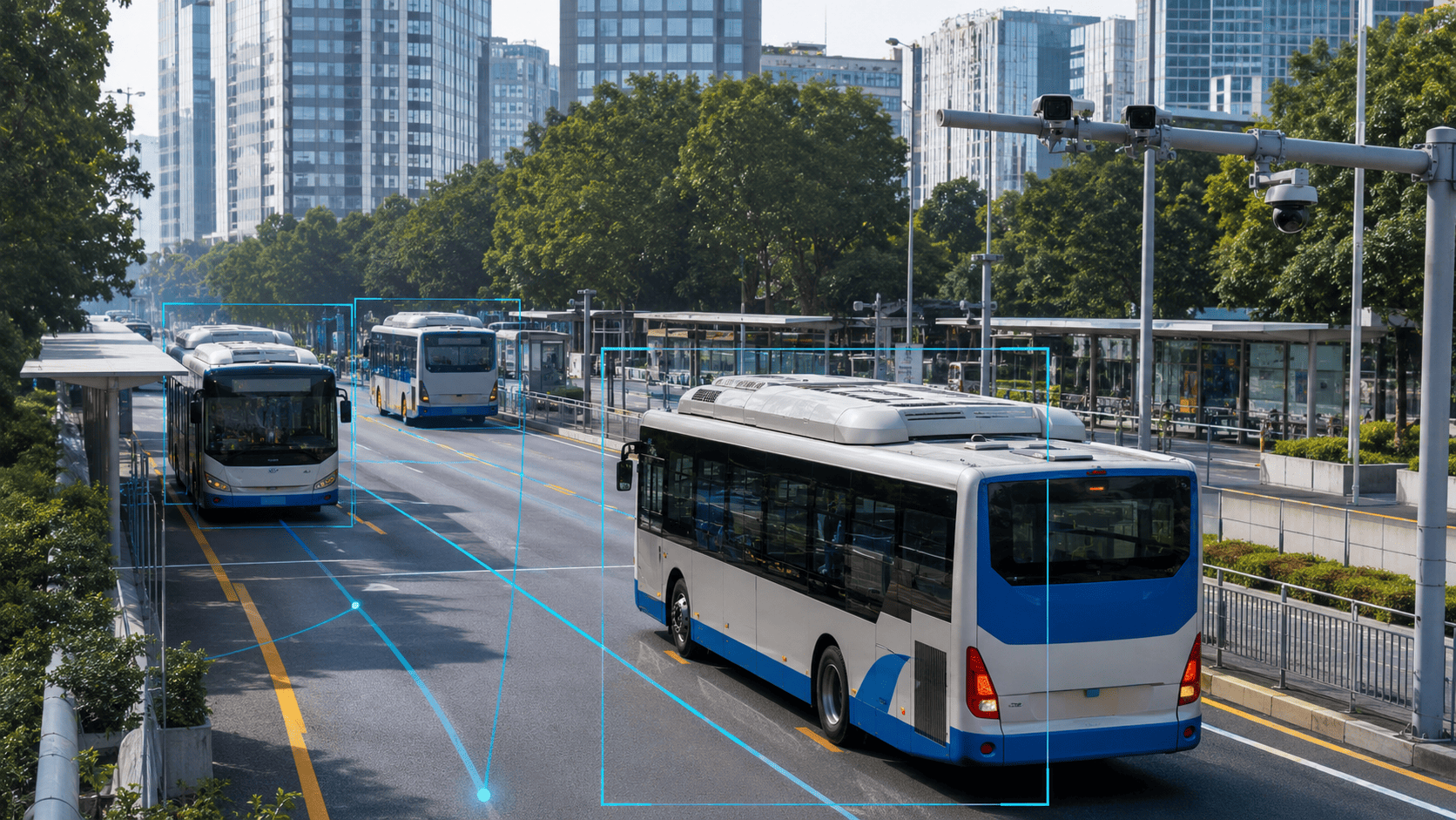
Buses, dedicated lanes, stops, intervals, route events and load.
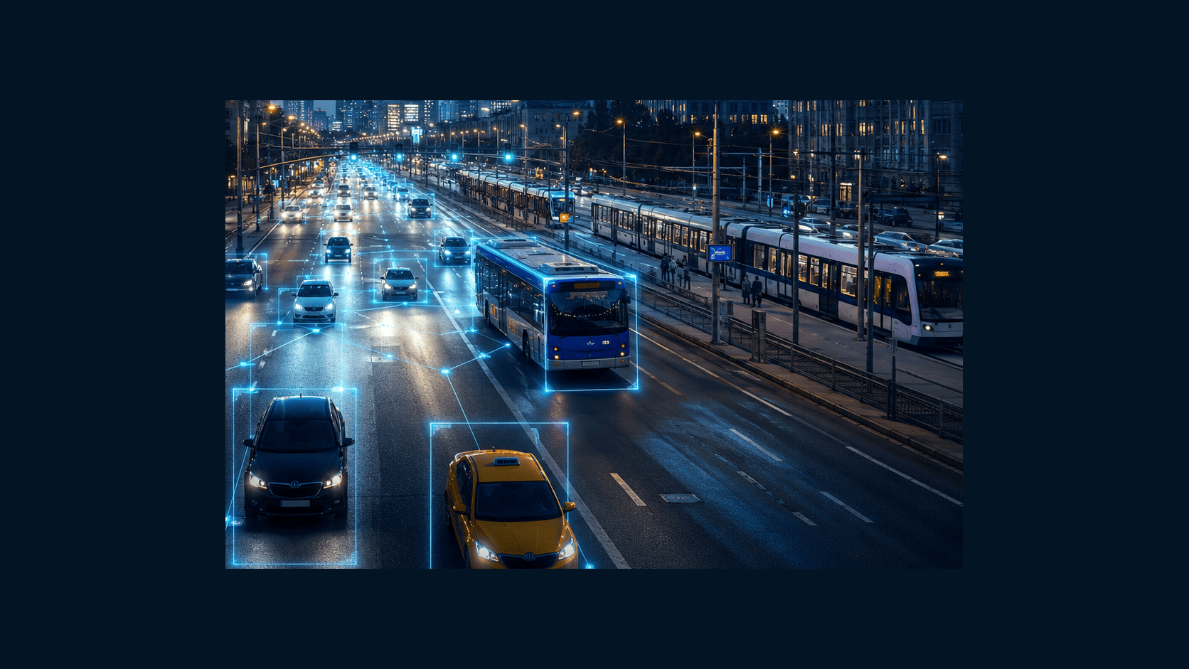
Pick-up zones, long stops, overloaded access roads, violations and disputes.
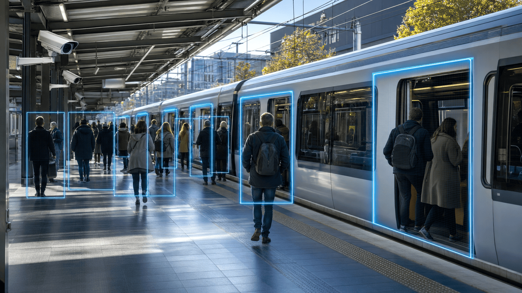
Platforms, doors, boarding, alighting, passenger flow and line events.
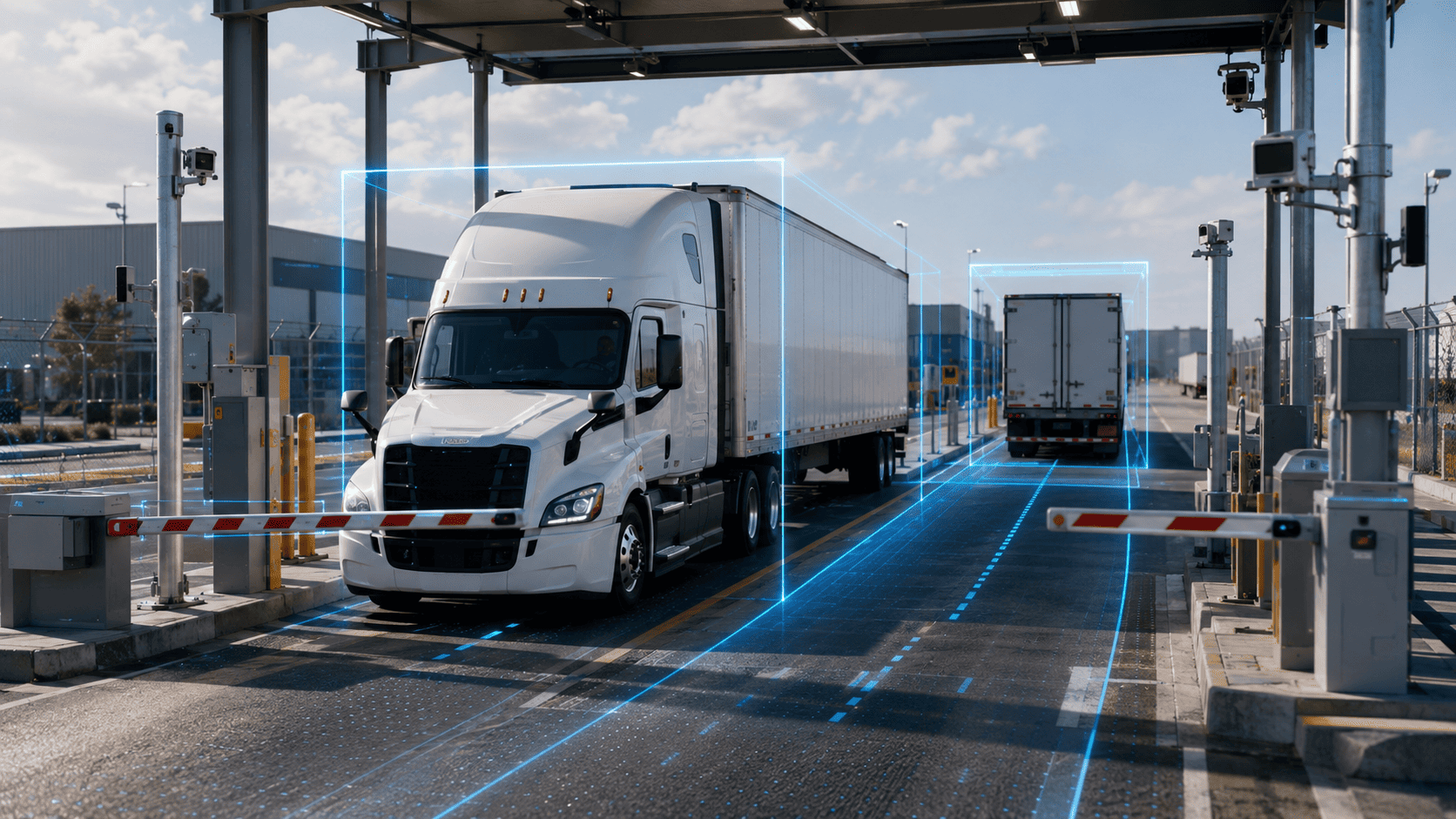
Entrances, exits, unloading, waiting zones, freight routes and vehicle control.
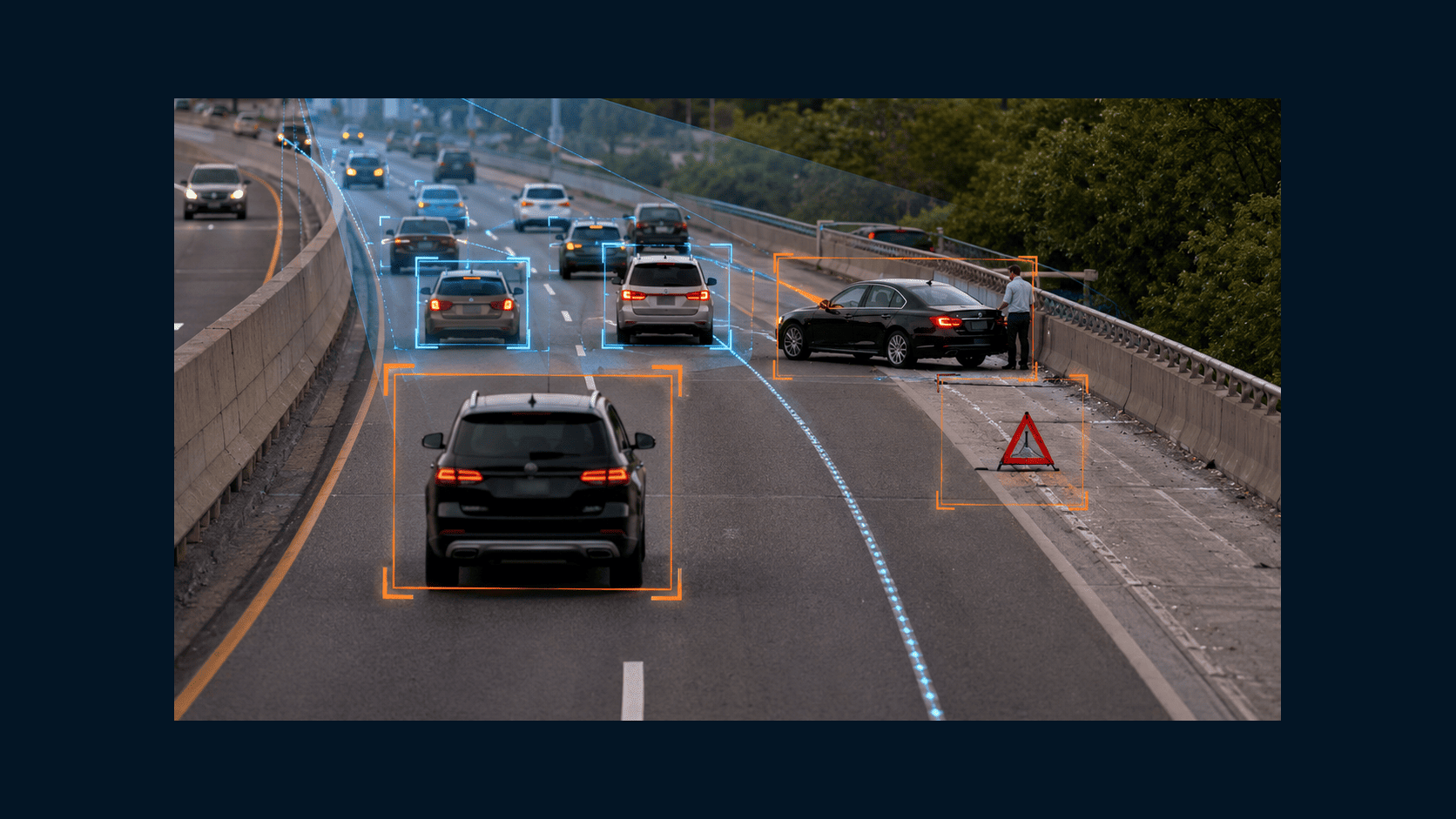
Risky maneuvers, stops, behavior near vehicles, movement-zone events and disputes.
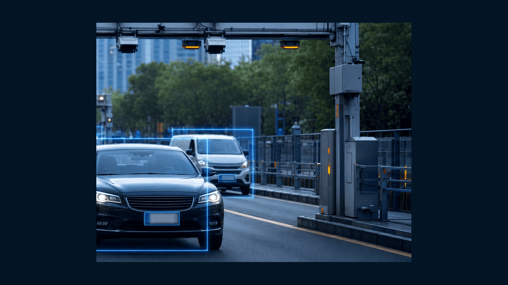
Space occupancy, violations, blocked lanes, entry/exit and vehicle search.
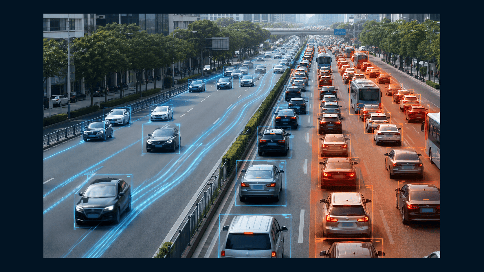
Lanes, junctions, stops, crossings, danger zones and road network condition.
The system turns video streams into events, metrics and evidence frames for operational response and reporting.
start with one zone, junction, entrance, depot or stop
search and events can be linked to zones, directions and routes
operators receive notifications, frames and event types instead of the whole video stream
search by plate, type, color, zone and time
This page is about vehicles, roads, routes, passenger flow and network movement, not airports or railway stations.
The system links plate number, vehicle type, color, direction, camera and time. It helps find a vehicle in the archive and reconstruct its route.
Investigations can use not only an exact plate, but similar attributes: color, body type, zone, time interval and travel direction.
Cameras become road sensors: they count vehicles and estimate speed, density and lane load.
The data shows overloaded sections, peak hours, closure effects and problem points on routes.
The system detects danger-zone stops, lane blockage, wrong-way driving, abrupt trajectory changes and accidents.
The operator receives the event, camera, time and evidence frame instead of reviewing every stream manually.
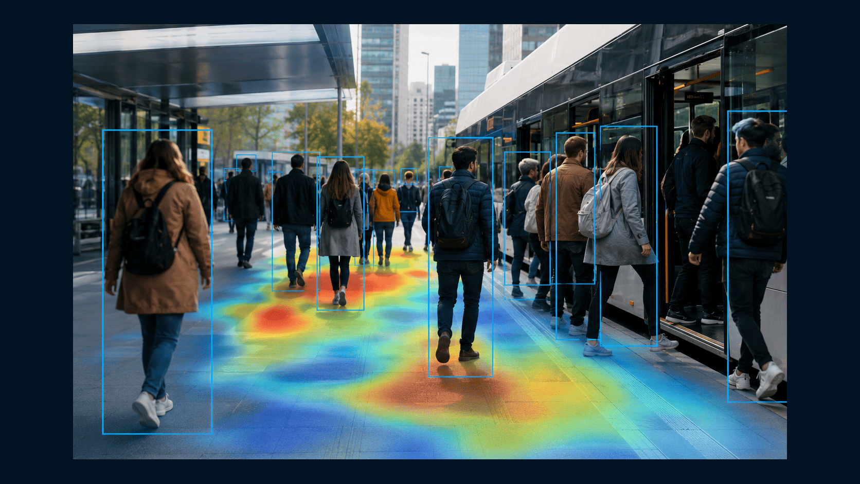
Scenarios count people at stops, boarding, alighting, queues and high-density zones.
This helps evaluate intervals, service quality, overloaded points and the need to reinforce routes.
Video analytics complements telematics with the real situation at stops, lanes, depots and routes.
Events support dispatching, interval control, dispute handling and carrier performance checks.
For logistics, entrances, exits, waiting time, zone presence, unloading and disputes matter.
The system links plate, vehicle type, time, camera and event to speed up review and reduce manual checks.
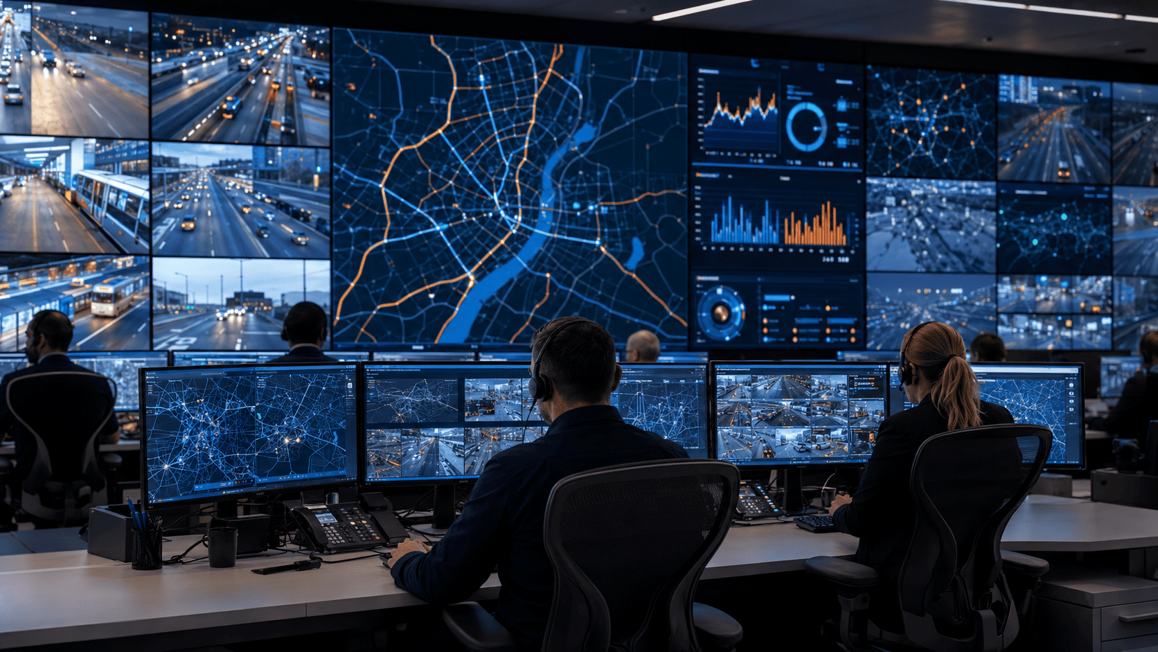
Events from roads, parking, stops, depots and routes are collected in one interface.
Dispatchers see maps, cameras, statuses, events, archives, reports and transport network KPIs.
One layer can be adapted for city roads, fleets, depots, parking, taxis, buses, freight routes and rail assets.
Stops, dedicated lanes, intervals, boarding, alighting and load.
Pick-up zones, long stops, access roads, disputes and violations.
Platforms, doors, boarding, alighting and line events.
Checkpoints, unloading, waiting, routes and entry/exit control.
Free spaces, violations, entry, exit and vehicle search.
Speed, density, congestion, lanes, crossings and danger zones.
Start with one junction, entrance or depot, validate event quality and then scale to a network.
RTSP/ONVIF connection to existing cameras, VMS and archives without replacing the whole infrastructure.
Analytics can run on site, in a data center or in hybrid mode with buffering and health monitoring.
After a pilot, new cameras, zones, routes, event types, reports and integrations are added.
Transport infrastructure often needs adjacent pages: stations, parking and smart city scenarios.
Choose the starting task: plates, flow, incidents, passengers, parking or dispatching. We will propose cameras, models and integrations.